Contact: Rich Kurz Page content last updated September 1, 20201
Contact: Rich Kurz Page content last updated September 1, 20201
Some time in the late '40s, my Grandfather began taking color slides with what must have been a good camera. I remember he had something like a Leica in the 60s. I am even more impressed by his slides today. The exposure was often about perfect, and the colors for the most part remain clean and vivid. It is a thrill to see them and scan them. It brings back what life looked like back then - and in vivid color! Better than in my memories.
The slides are mostly mounted in plastic linear slide trays. I still have a couple of slide projectors to view them with. It is an event gathering together in the same room. The only light comes out of vents and off the screen. The room slowly grows hot because of the heat given off by the bulb and by all the people watching. And all the while, there is the raucous noise of the projector fan, always running. Each time a slide advances (pull the film gate knob out, twist it to advance to the next slide, push it back in) the slide gate goes "clack!" It is all part of the experience. And then everyone talks about who's in the picture and what happened to them, or tries to identify who they think is Uncle Fred. It's all very social, but only good for an hour or so.
After the decades, the slides need some surface cleaning.
I found that all I need is a microcloth like I use for my glasses.
I apply only enough pressure on the slide to allow the slide to go back and forth and side to side under the cloth between my fingers.
Surprisingly, I have noticed no scratches.
So, find those old slide and keep them.
I have removed most of them from the slide trays and keep them in old slide boxes.
They are stored some place not too hot or humid, where the temperature is relatively constant.
But scan them if you can, because some day, they WILL fade away!
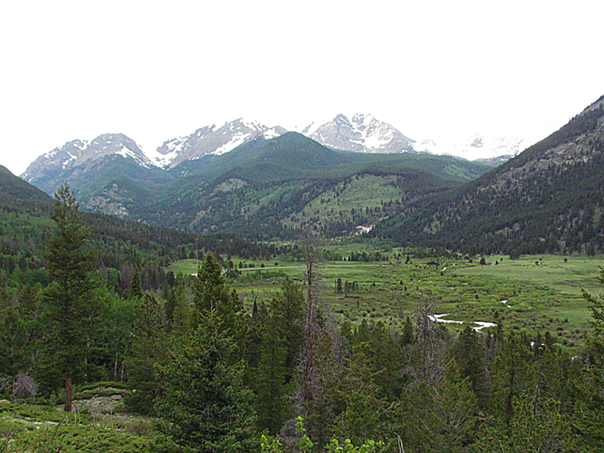
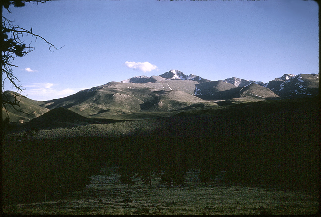
Rocky Mountain N.P., 1954

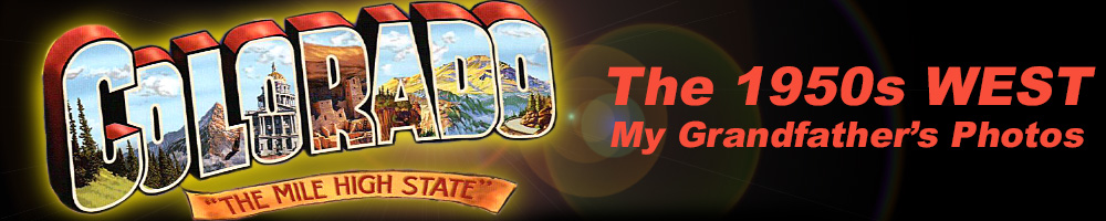
US 34 in "the Narrows" west of the Dam Store, west of Loveland. This view looks west and is just before a small dam just around the bend.
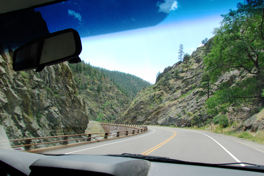
The same view, slightly closer to the dam, taken in July 2020.
Looking the other way (east) in the Narrows.
Nearly the same view, Aug.25, 2020. Note the trees on the ridgeline.
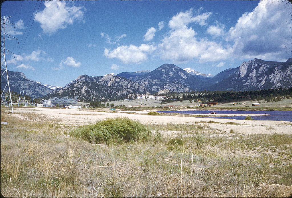
Estes Park taken along US 36 before entering the town, at the head of the reservoir. The white building is the Stanley Hotel of "The Shining" fame. Today there is a shopping center between the two roads leading up to it. The roads are still there.
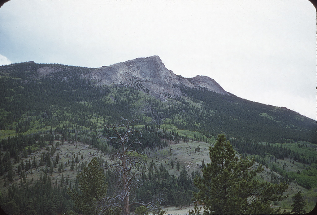

Deer Mountain as seen from Fall River Road shortly before the Fall River entry station into Rocky.
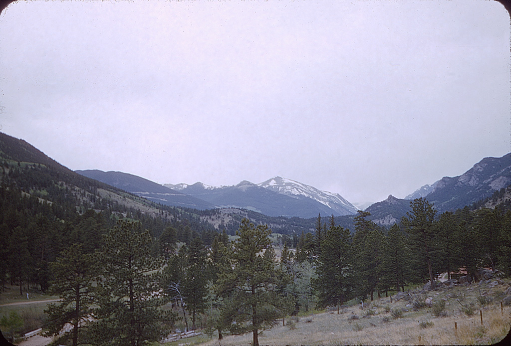
Another view looking west from Fall River Road, also before coming to the entry station.
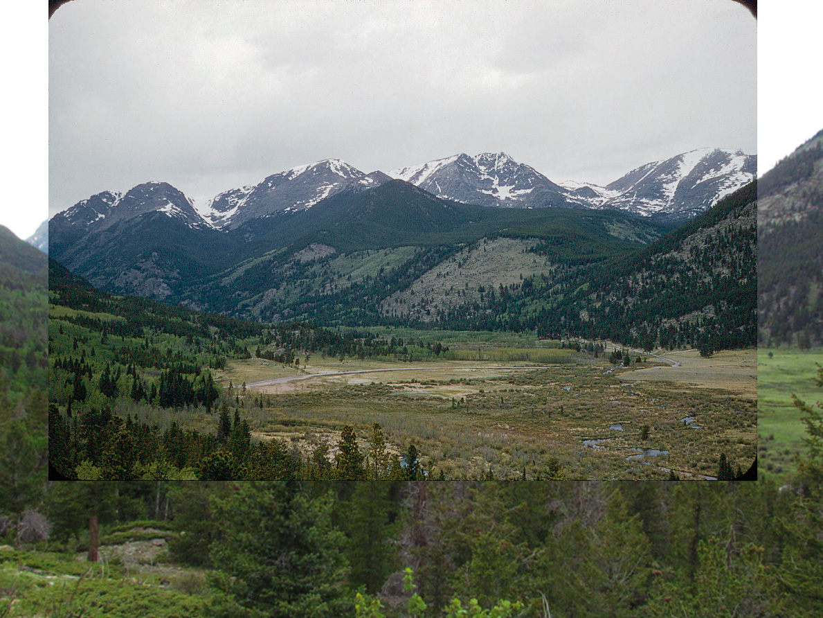
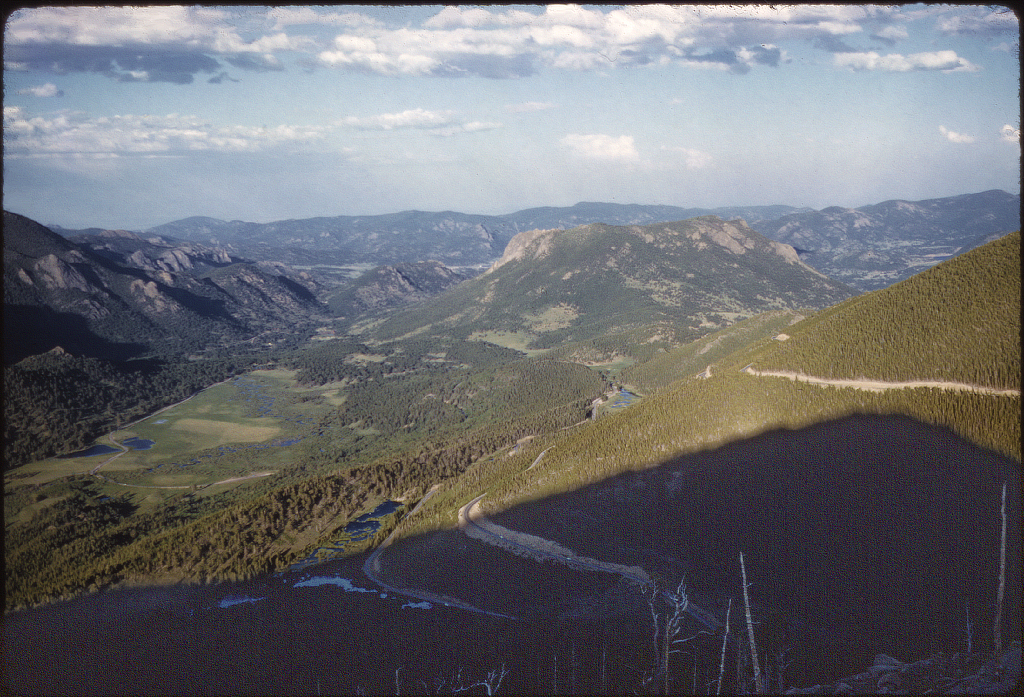
A view of Horseshoe Park looking west. The Fall River Road continues to the left up over the Continental Divide.
The photo superimposed over a 2020 view.
The view today from the same pull-off. Of note is the Alluvial Fan near center created by the Lawn Lake Dam break and flooding of 1982.
Traveling west of Denver, 1956
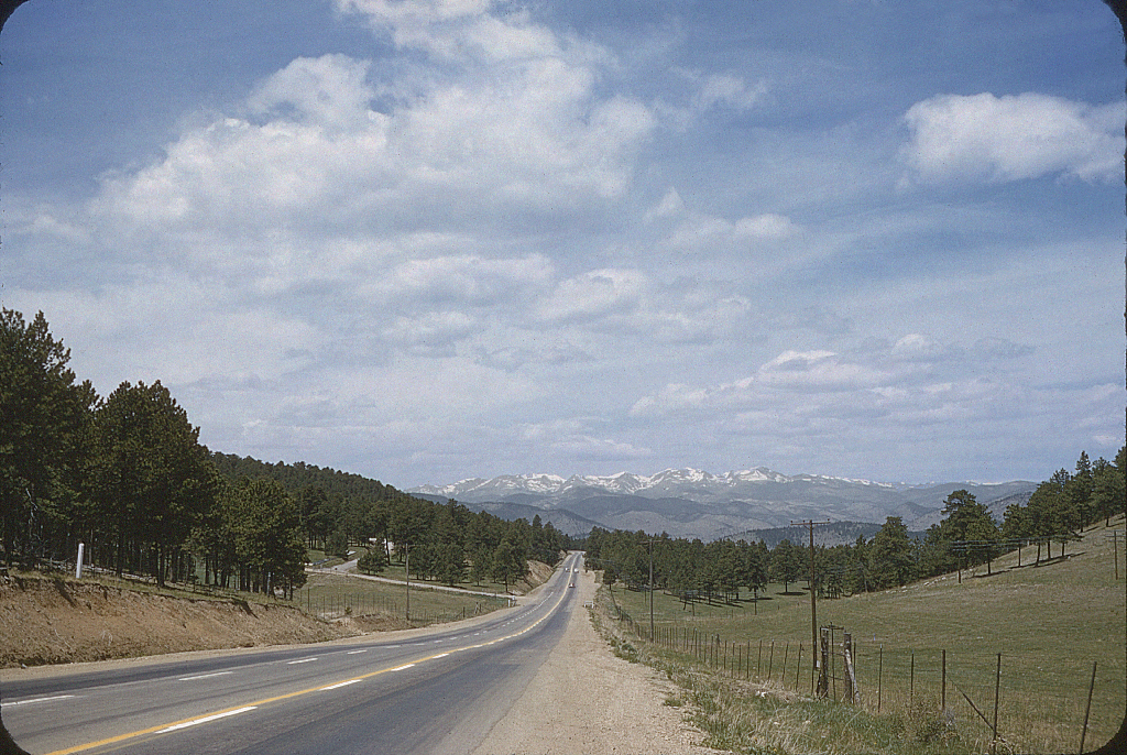
US40 going west from Denver before there was I-70.
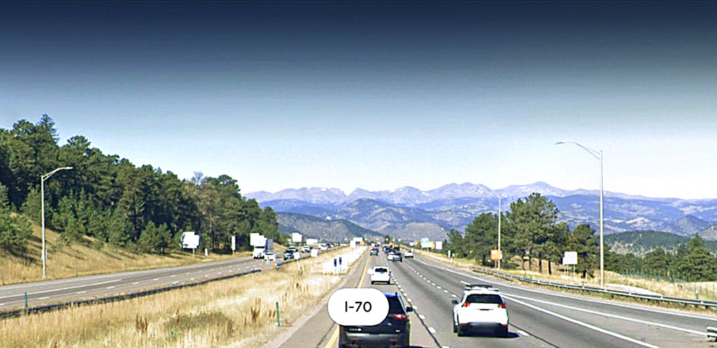
The same view from I-70, grâce à Googlemaps.
Colorado, 1958
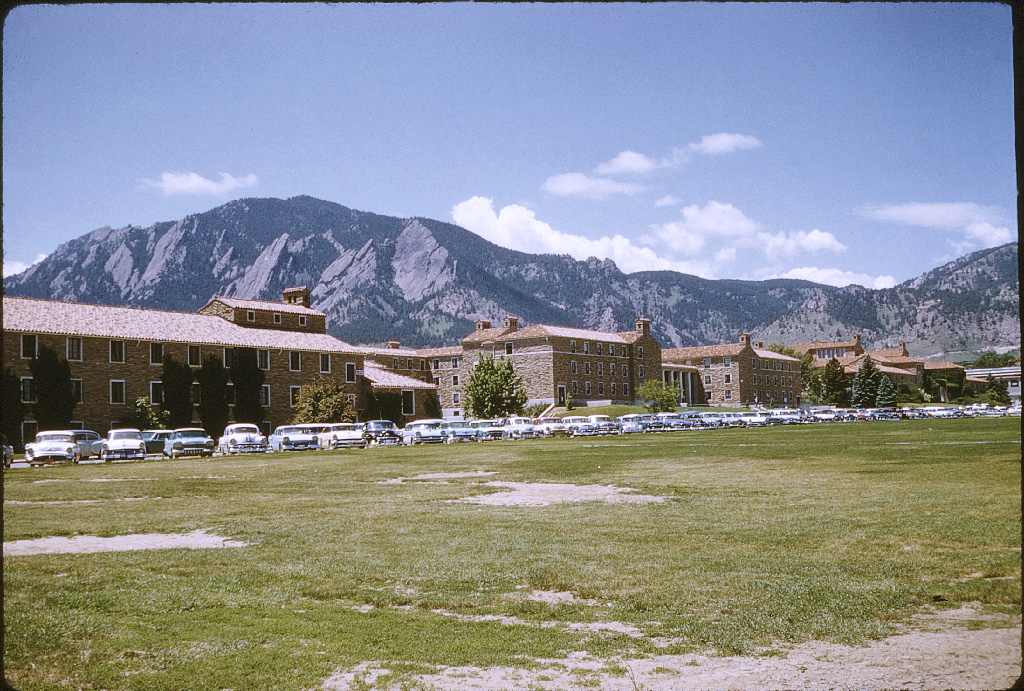

The C.U. Campus. Cheyenne-Arapaho Hall is center buildings connected by the colonade. Back then it was called Fleming Hall, then Nichols Hall.
A view of the Flatirons outside Boulder. So I am guessing this is not from US 36, but farther south.
The Denver Civic Center just west of the State Capitol.
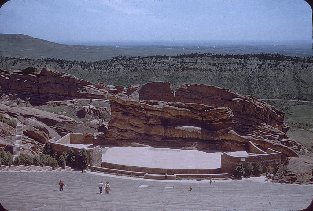
The Red Rocks amphitheatre, developed during the 1930s. It's a natural amphitheatre.
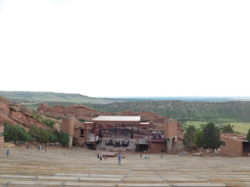
The view today. Much the same.
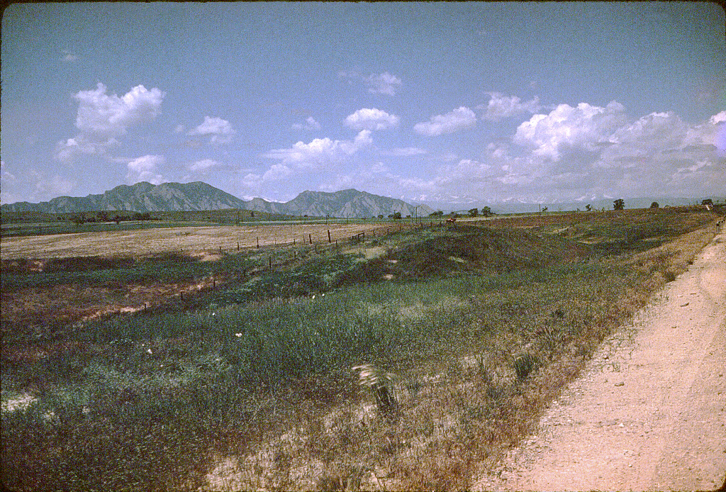
I don't know this one. It is not around Rocky. I am guessing it's somewhere near the Western Slope.
Trailridge over Rocky Mountain N.P.: 1958


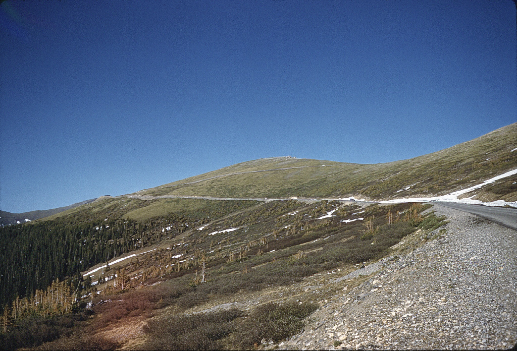

Let's take a drive over the Continental Divide. We start at Grand Lake on the western side.
As we go north, climbing inside the Park, we are looking back and south down the Kawuneechee Valley.
And on Memorial Day, 2003 when Trailridge Drive opened for the season.
Looking north, we see the Trailridge Visitor's Center right of center.
And on Memorial Day, 2003.
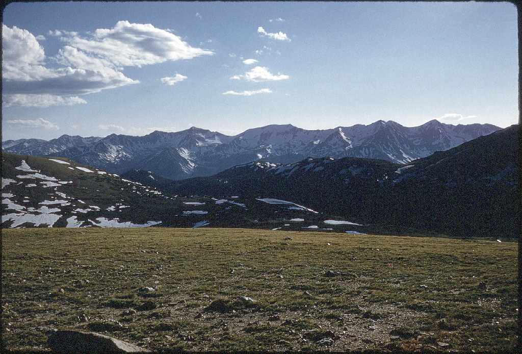
We are past the Center and close to the highest point, looking southwest at the Neversummer Range.
And on Memorial Day, 2003.
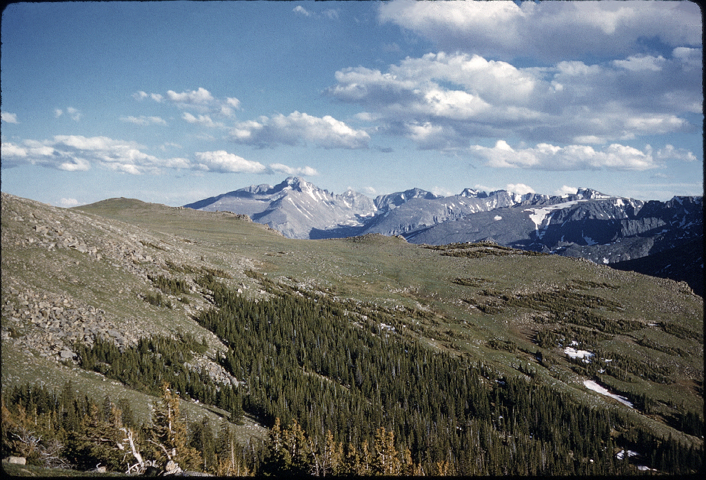
Looking the other direction, east, we can see Longs Peak in the distance marking the other side of the Park.
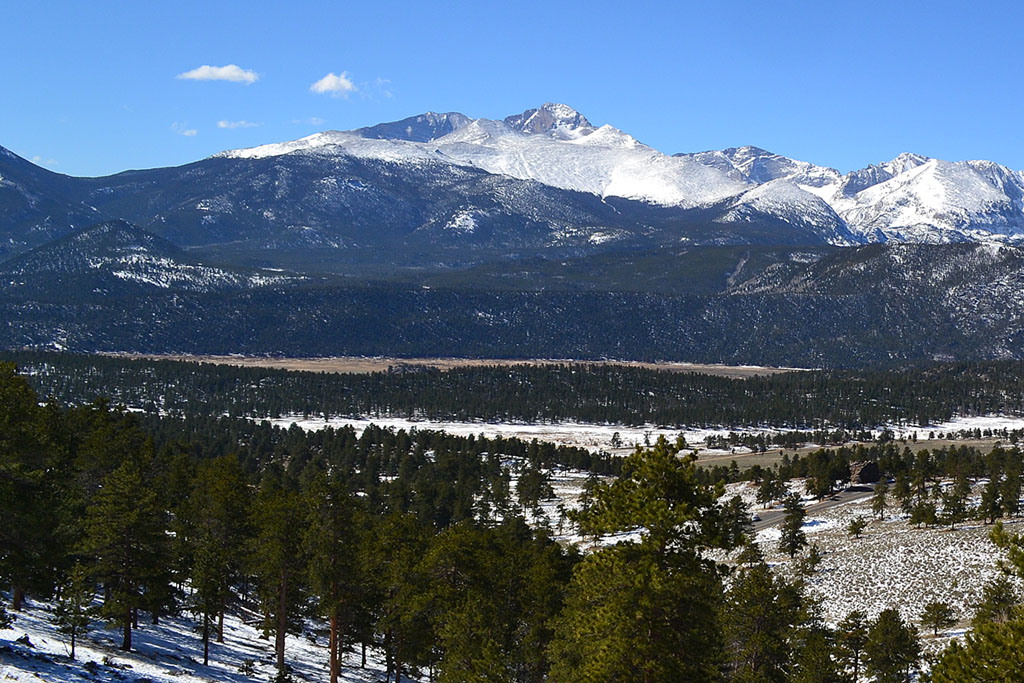
And on Memorial Day, 2003.

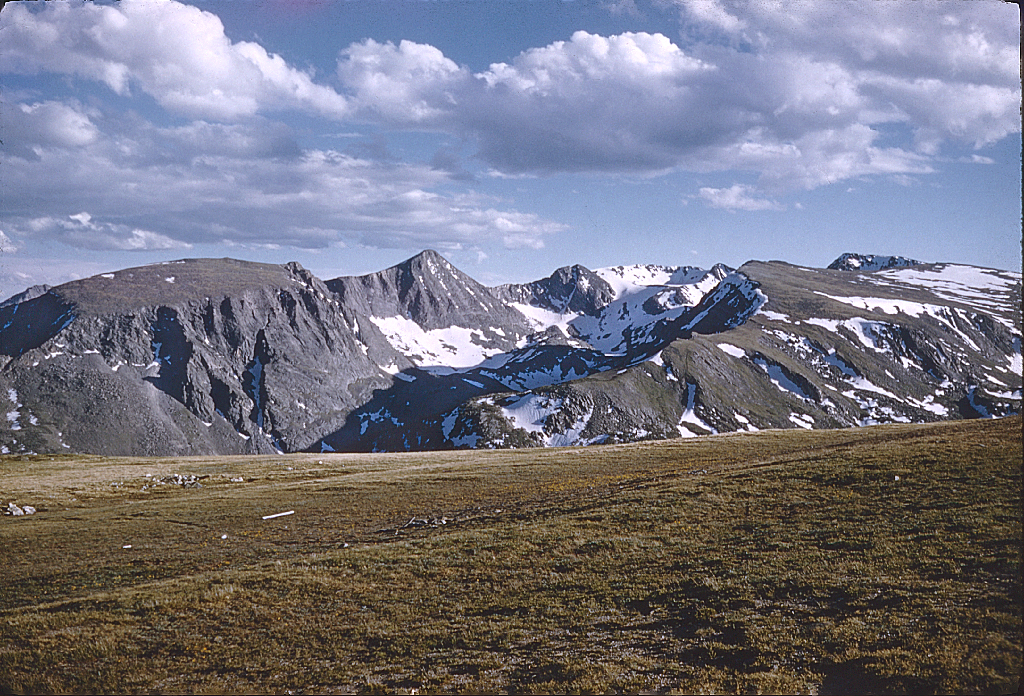
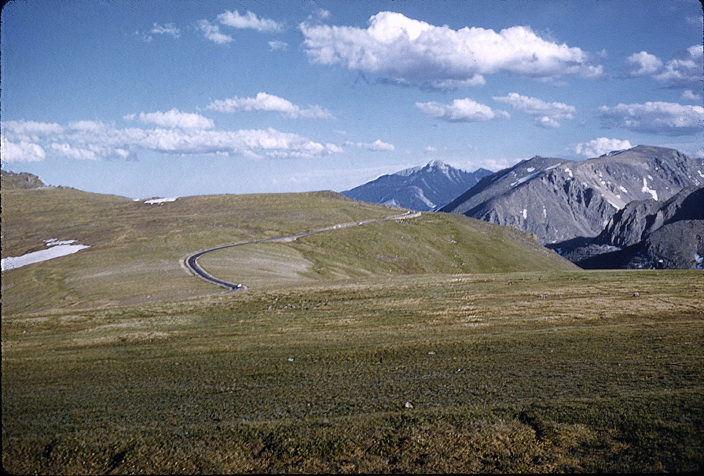
We continue driving along the Divide on the alpine tundra, looking southeast, again at Longs Peak.
Farther along, we get a better view of where the Divide actually passes to the south.
And on Memorial Day, 2003.
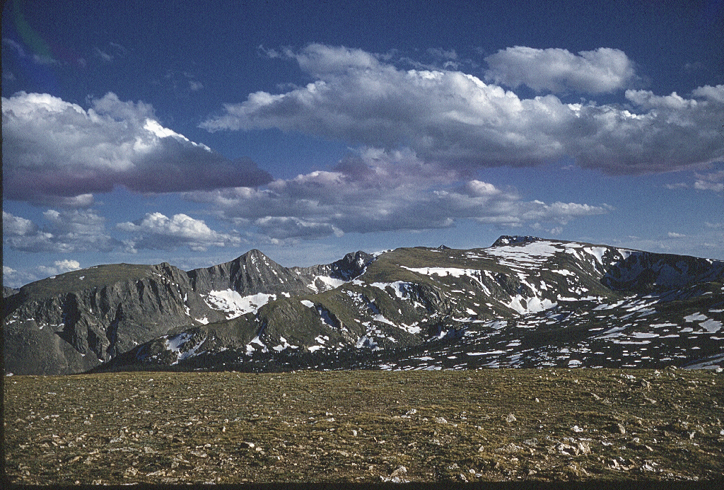
The pointed peak is Halletts' Peak and Flattop Mountain is to the right.
And on Memorial Day, 2003.

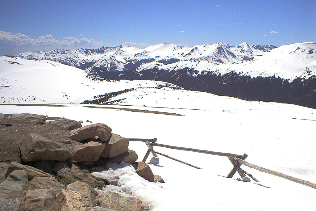
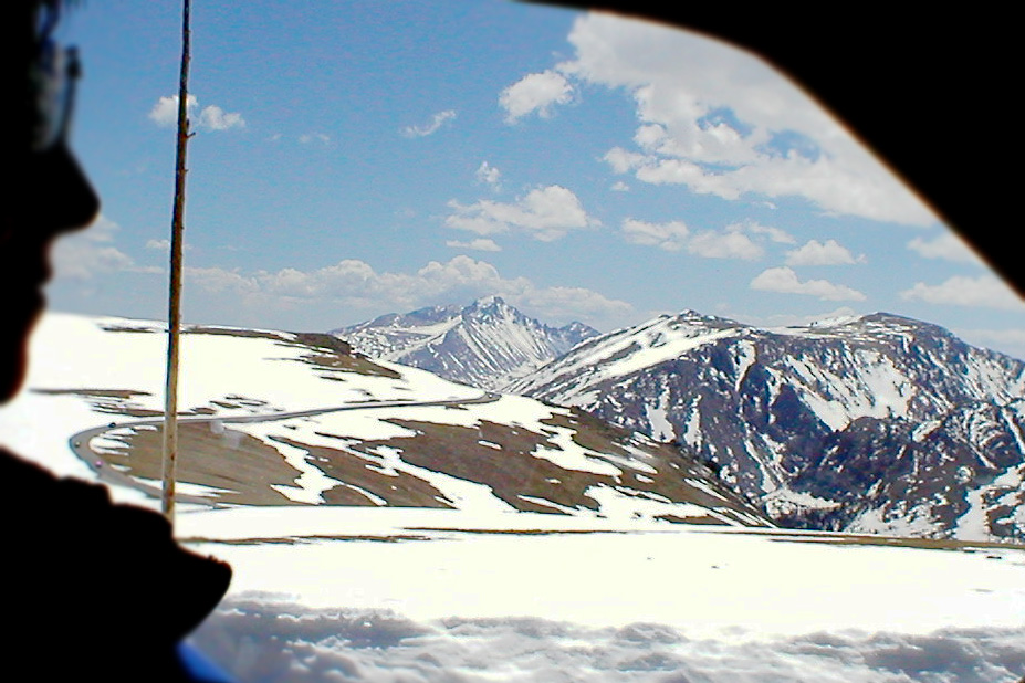
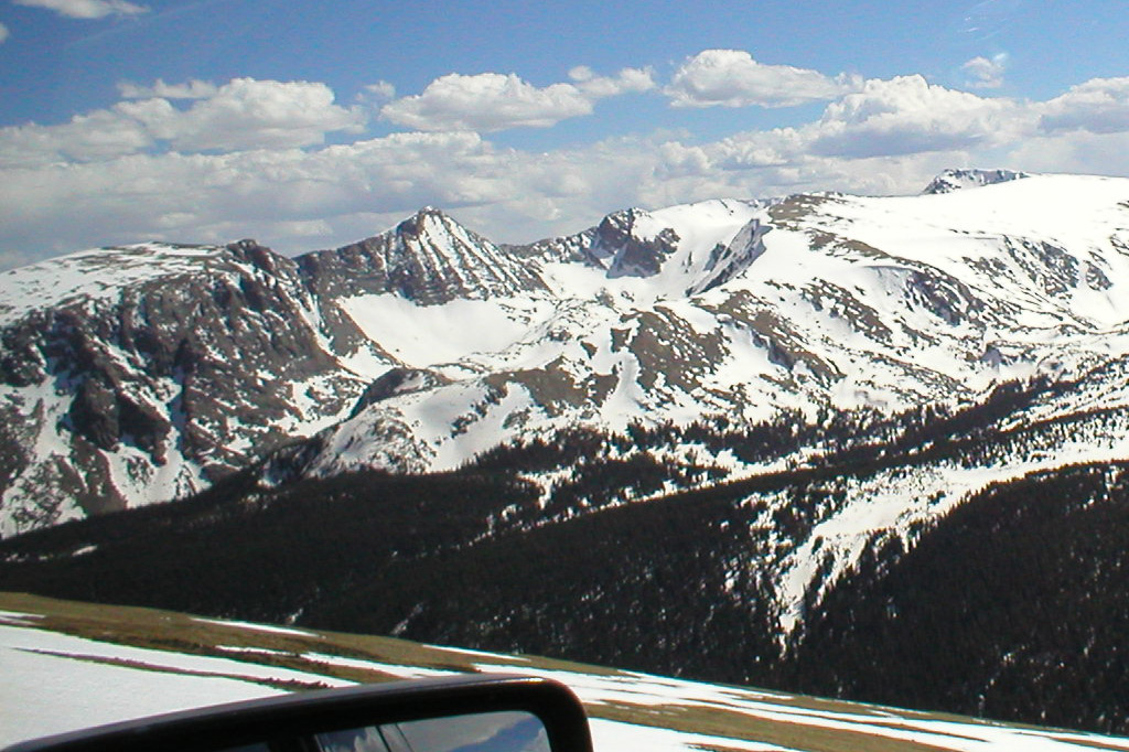
We descend to Rainbow Curve (10,000 feet), which looks out over the Beaver Ponds (center left down) and Horseshoe Park (center left middle).
The 1958 view superimposed over a 2008 view
And the May 2008 view. Note the Beaver Ponds have dried up, and the Alluvial Fan is now on the left side of Horseshoe Park.
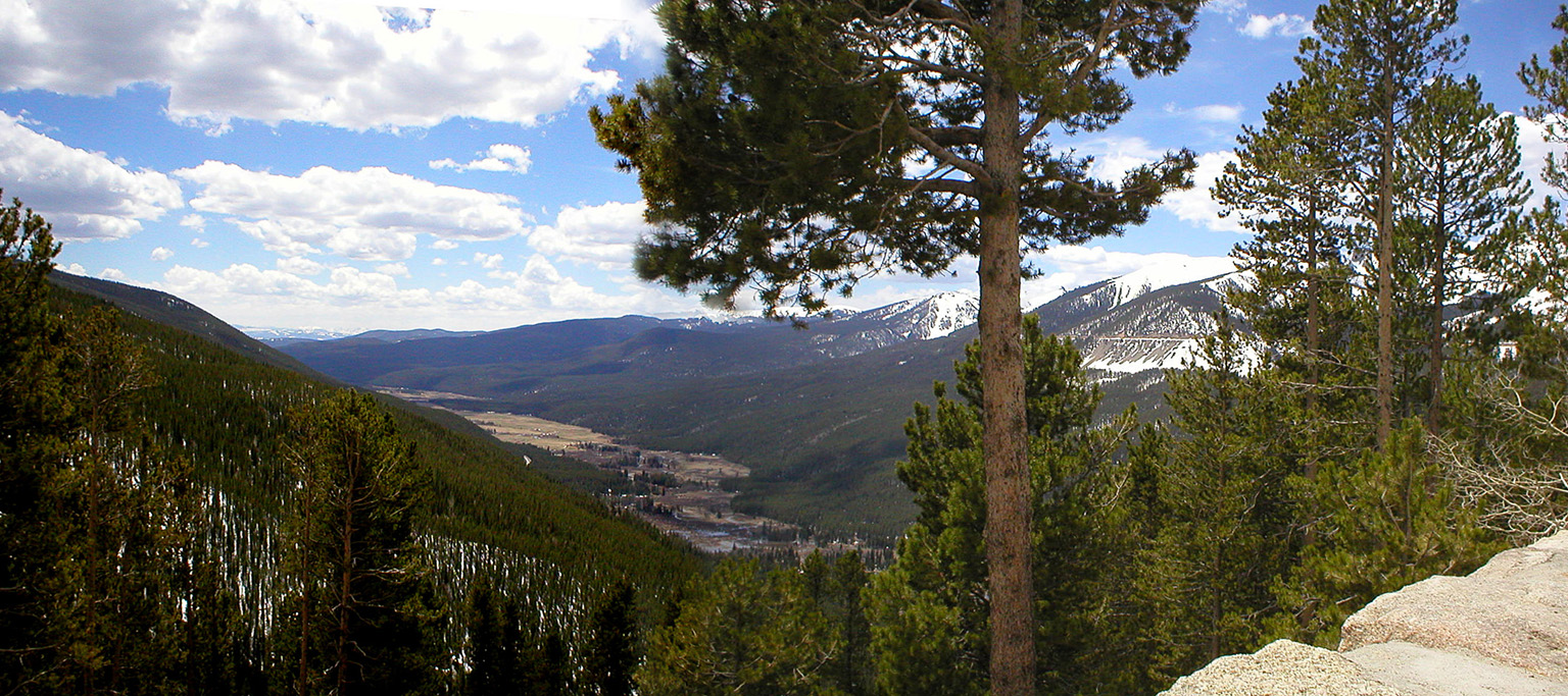
Continuing on, we get this view of Longs Peak looking south from Deer Junction.
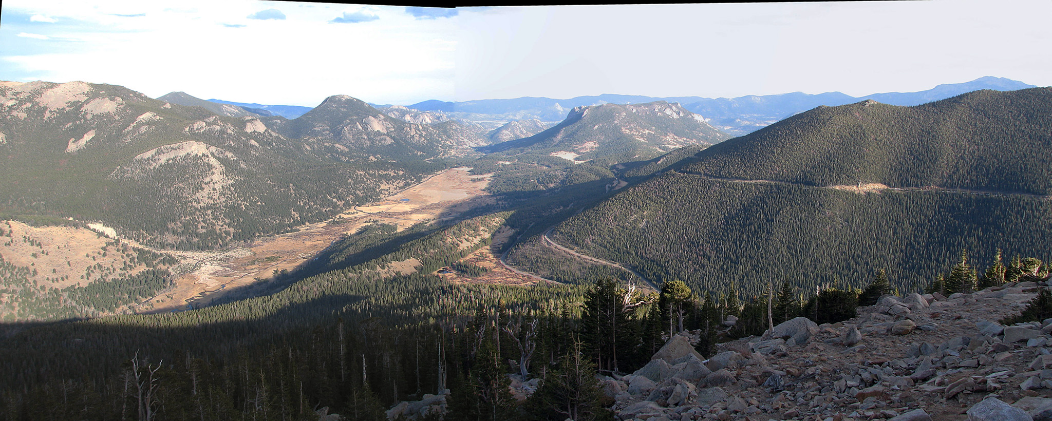
And a similar view from 2017 from the trail up Deer Mountain.