Panoramas |
Rocky Mountain National Park |
Rainbow Curve, RMNP
180° left = west
(alt.=10,800 ft) 01/2008 |
 |
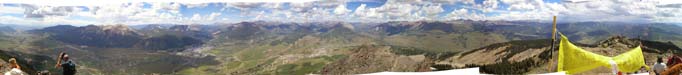
Atop Hallett Peak, RMNP
360° left = east
(alt.=12,800 ft) 08/2009 |
 |
Atop Longs Peak, RMNP
360° left = south
(alt.=14,255 ft) 08/2009 |
 |
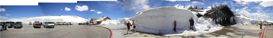
Alpine Visitors Center, RMNP
(alt.11,799 ft) Opening day, 05/2003 |
 |
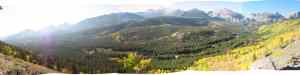
Along Bierstadt Trail, RMNP
180° left = north
(alt.~9,500 ft) 09/2009 |
 |
Elsewhere in Colorado |
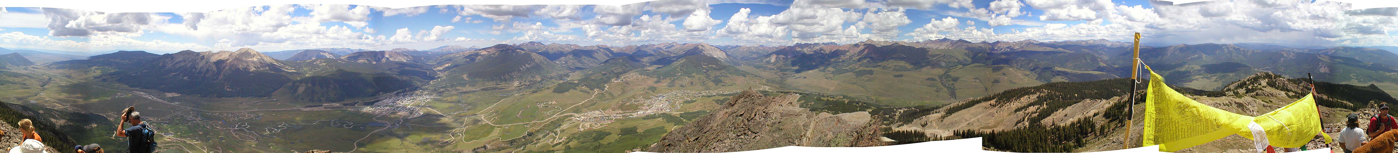
Atop Crested Butte
360° left = south
(alt.=12,152 ft) Gunnison County, CO 08/2003 |
 |
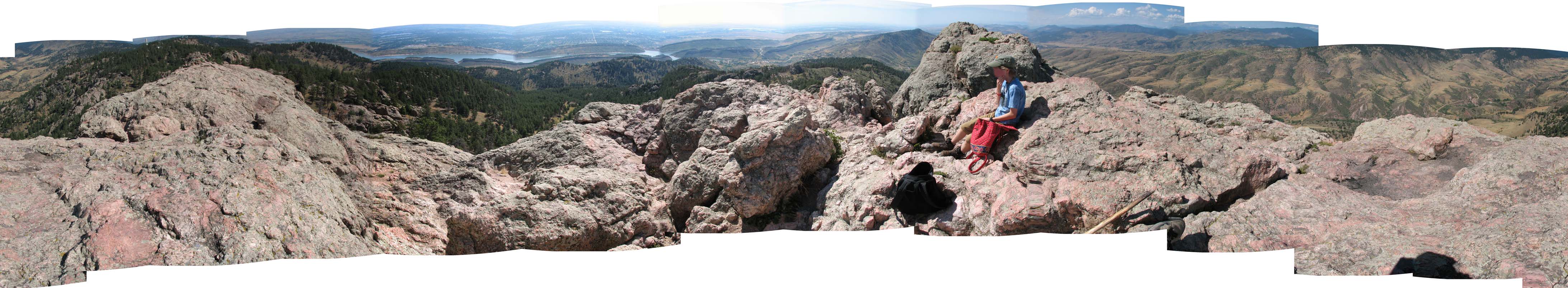
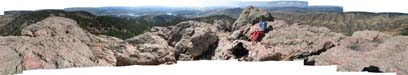
Atop Horsetooth Rock
18° left = north
(alt.=7,255 ft) West of Ft. Collins, CO
07/2007 |
 |
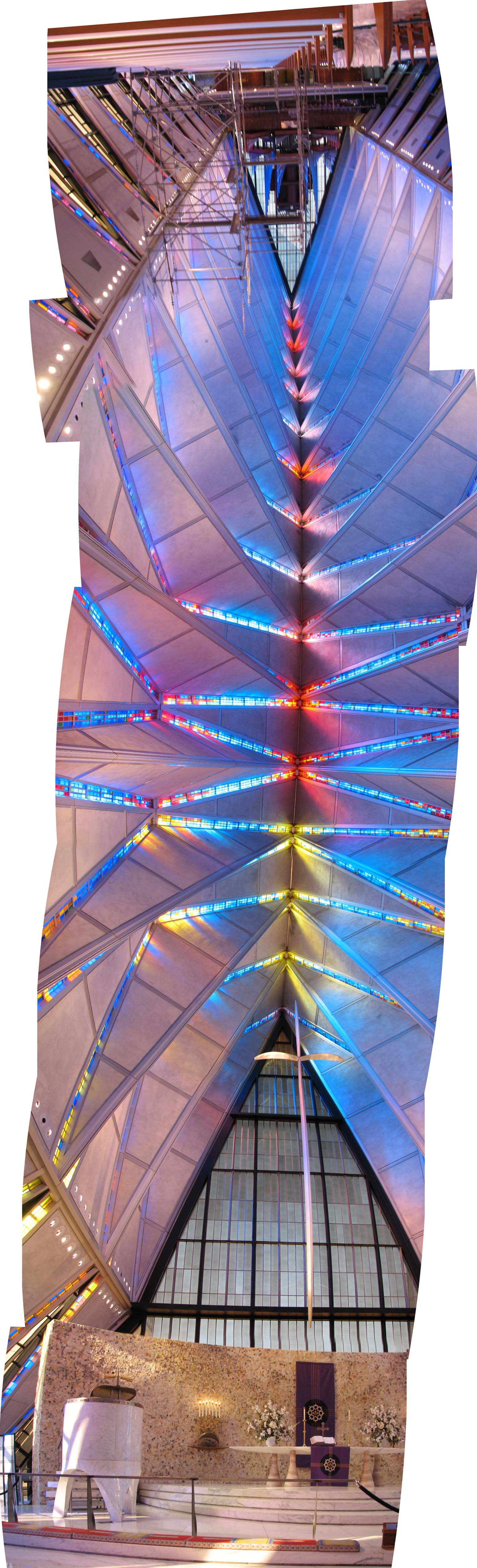
Interior of the upper chapel
United States Air Force Academy
180° top = entrance
03/2009 |
 |
Gettysburg Battlefield |
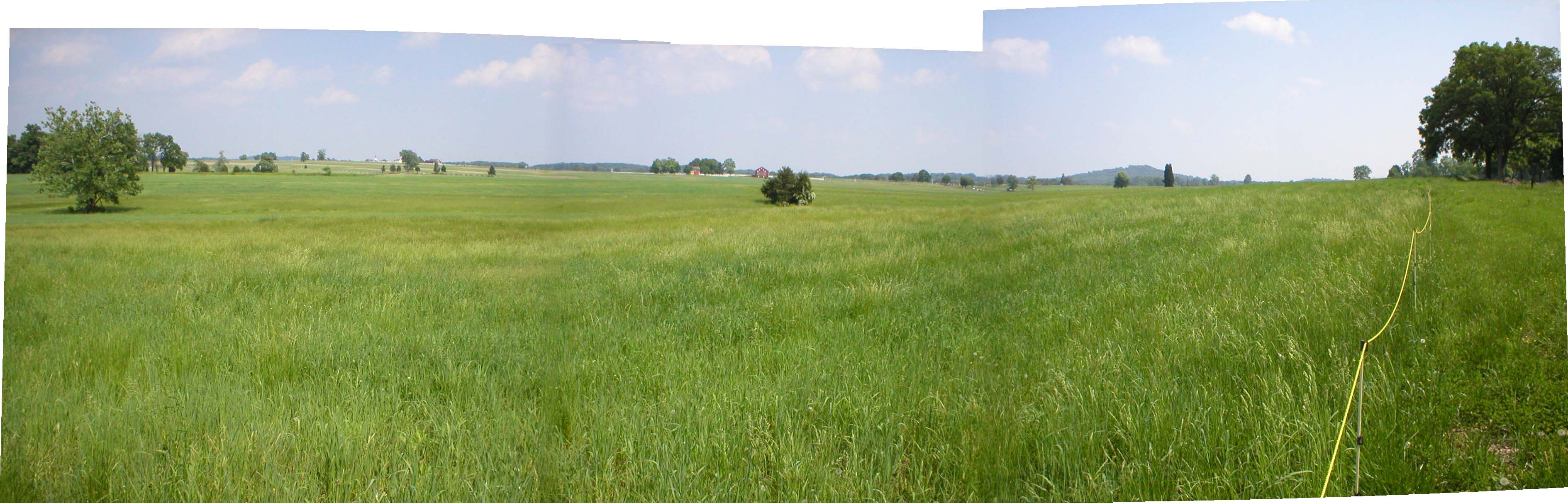
The view from Seminary Ridge, Confederate lines. Pickett's Charge began here.
View looking east (left) to south 05/2004 |
 |
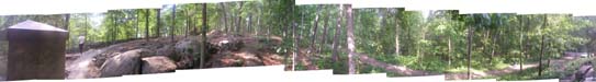
South end of Union line on Little Roundtop, defended by Col. Chamberlain and the 20th Maine.
This looks down on the Confederate line.
360° left = west |
 |
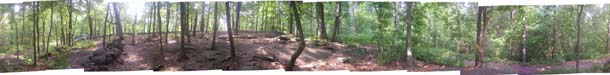
South end of Union line on Little Roundtop, same location but looking up from the Confederate line at the 20th Maine's position on the top ridge
360° left = west |
 |
Here and There |
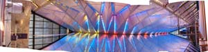
The Udvar-Hazy Center, pre-1920 aviation gallery
Dulles International Airport 05/2004 |
 |
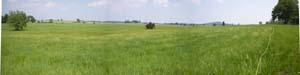
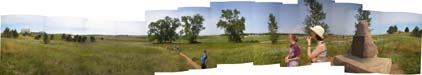
Pa's homestead claim and the trees he planted as told in "By the Shores of Silver Lake". The trees mark the location of the Ingall's home.
360° left = south DeSmet, SD 07/2003 |
 |
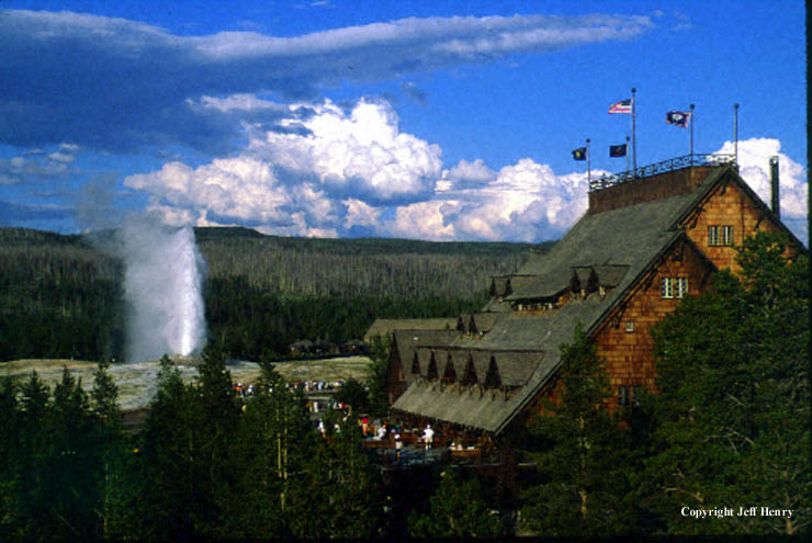
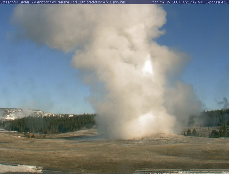
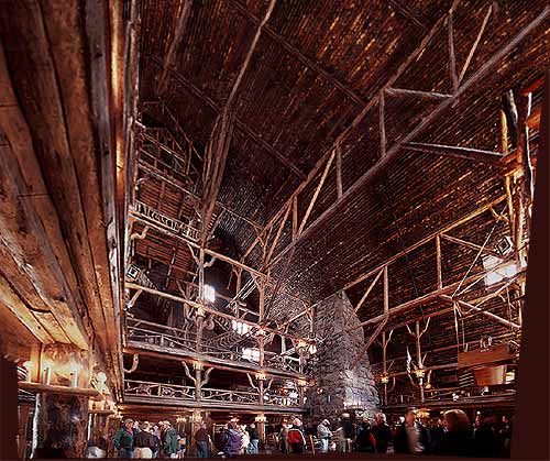 "Old Faithful" & Old Faithful Inn (1903) and the main lobby
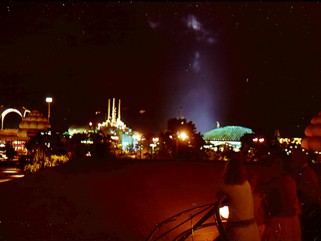 The 1964 New York World's Fair as seen from the roof of the Kodak pavilion.